

GIS for Infra Projects — Without the Complexity
GeoPortal gives your project team insight into all geographic data: drawings, surveys, photos, documents and public datasets — organised, accessible and always up to date.
Used by






A GeoPortal that provides an overview of your infra project.
Long lead times, rotating teams and multiple project phases mean geographic context fades. When the right data is not available at the right moment, delays follow.
Make complex trade-offs with full geographic context, instead of fragmented drawings and spreadsheets.
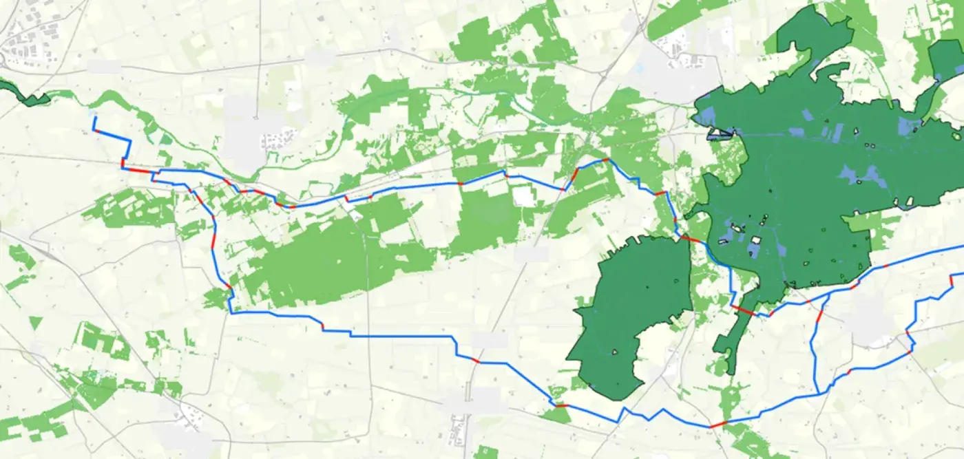
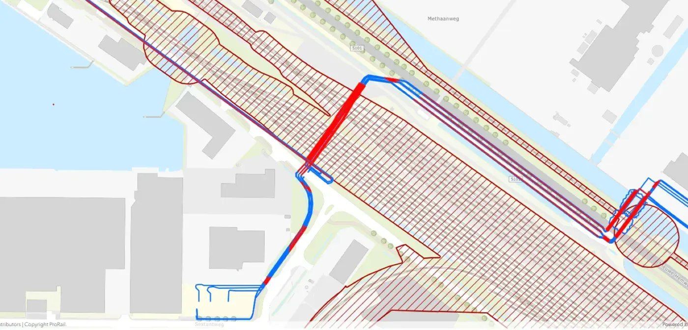
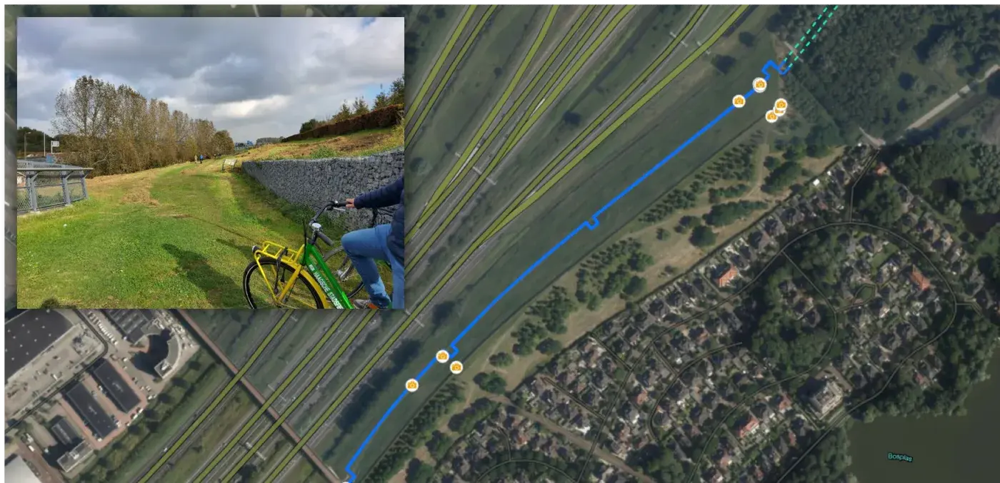
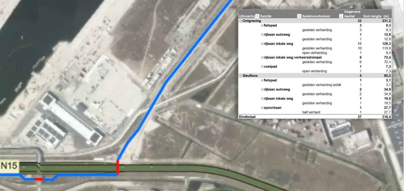
The GeoPortal Solution
We centralise all drawings, spreadsheets and public datasets in one accessible portal, so decisions are based on facts and challenged by experience.
Capabilities
Powerful tools designed specifically for the challenges of infrastructure projects.
PDF Tools
Instantly generate professional reports and drawings — photo reports, ZRO drawings and trial trench drawings.
KLIC crossings
Automatic crossing analyses and visualisation of cables and pipelines based on Kadaster data.
Trace generation
Generate and optimise route variants based on project-specific parameters.
Monitoring
Stay in control of progress and data integrity with real-time dashboards and alerts.
Document management
Link all project documents and attachments directly to the geographic objects on the map.
Collaboration
Share specific map layers with stakeholders via secure, temporary links without them needing an account.
Integration
Seamless connection with the tools your team already uses and the most critical public sources.
Who is it for? One portal, multiple perspectives.
Contractors
Get a clear overview of project scope, identify risks early and turn quality and as-built registration into a formality instead of a last-minute scramble.
Engineering firms
Analyse design options spatially, automate repetitive tasks and present decisions to stakeholders with visual clarity and substantiation.
Grid Operators
Track project progress in real time and ensure a clean handover between the different project phases.
Impact
Pricing
Transparent rates for every type of project.

About GeoPortaal
Our Vision
"Infrastructure projects where monotonous tasks are automated and results are constantly challenged by experience."
Our Mission
GeoPortal provides infrastructure projects with geographic insight and ensures engagement in every project.